

Source: The Conversation (Au and NZ)
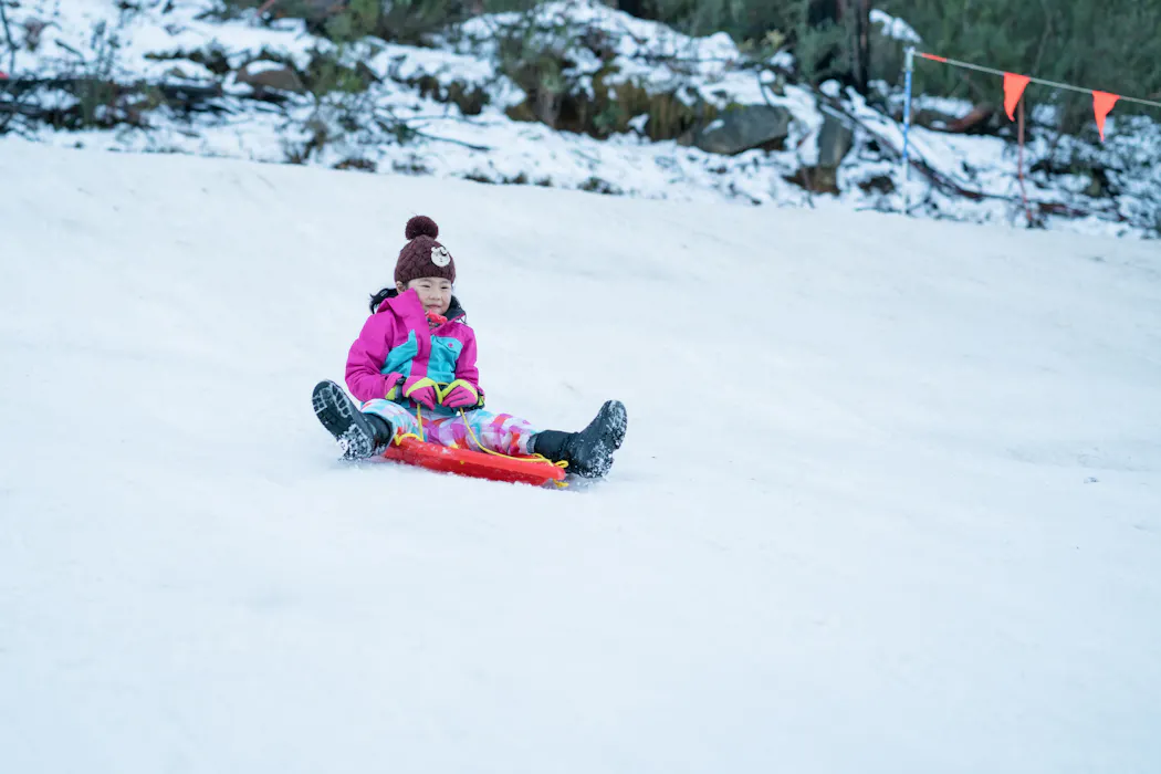
There’s nothing like gliding down a snow-covered slope.
That’s if you ask the thousands of people that make an annual pilgrimage to our alpine resorts during the Australian winter.
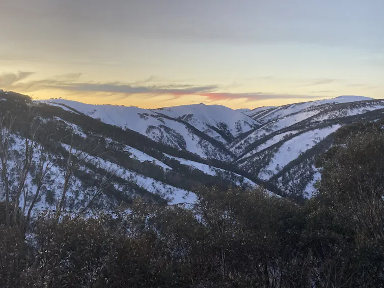
But this year, the start to the snow season has been far from spectacular.
While there is still some way to go before the typical peak of the season in mid- to late August, maximum snow depths have declined by around 30% since the middle of last century.
Given the underwhelming start to the season, many ski resorts are struggling to attract visitors and keep their lifts running. It’s also affecting local businesses, alpine communities and parents who hoped a school holiday skiing trip would keep their kids occupied.
So why is there so little snow this year? And what does it mean?
Andrew Watkins
What shapes our snow season?
There are four main climate drivers that shape Australia’s alpine weather – including whether we get a good or bad snow season.
1. El Niño or La Niña
El Niño and La Niña refer to naturally occurring variations in temperature and winds over the Pacific Ocean that can influence weather around the world.
In Australia, El Niño years typically bring drier and warmer weather. In the eastern half of the country, this translates to below-average rainfall and warmer daytime temperatures during winter and spring. This also raises the risk of a shorter snow season. At the higher peaks, the season ends roughly two weeks earlier with maximum snow depths that are about 35cm less than average.
La Niña is the opposite to El Niño, characterised by higher rainfall and cooler temperatures in Australia. La Niña winters typically bring more snow. But occasionally mild temperatures in alpine regions can result in warm rain, the natural enemy of decent snow cover. This can mean some La Niña snow seasons can end abruptly due to spring rain.
Read more:
The weather bureau has just declared an El Niño. What could this mean for Australia?
2. Indian Ocean Dipole (IOD)
The IOD is caused by changes in sea surface temperatures in the Indian Ocean. A positive IOD indicates cooler ocean temperatures in the eastern Indian Ocean, near Indonesia. This means south-eastern Australia typically receives less winter rain and snow. In contrast, a negative IOD generally means more snow falls across eastern Australia.
3. Southern Annular Mode (SAM)
The SAM tells us where the main weather systems that bring snow and rain – cold fronts and low pressure systems – are located over the Southern Ocean. If they are closer to Australia, this is known as a positive SAM. If they are closer to Antarctica than normal – where they draw up cold air and moisture – this creates a negative SAM.
We’re most likely to score a good snow season when La Niña, a negative IOD and a negative SAM all coincide. These conditions make Australia’s alpine regions colder and wetter than average, creating the ideal conditions for snow. We saw this in 2022 and 2025, the last two times when the peaks of the Snowy Mountains were blanketed in more than two metres of snow.
Read more:
When is it going to snow? Getting a fix on what can make a good season
An underwhelming year
This snow season, none of the good-for-snow climate drivers have arrived.
In fact, we currently have an El Niño, a positive SAM and a neutral IOD, loading the dice for a drier and warmer winter in Australia.
As a result, we’ve seen a slow start to this year’s snow season. Ski resorts are battling warmer daytime temperatures, bouts of rain and warm soils, which mean snow tends to melt once it hits the ground.
Using machines to make artificial snow has helped. But conditions have sometimes been too humid to make snow.
Andrew Watkins
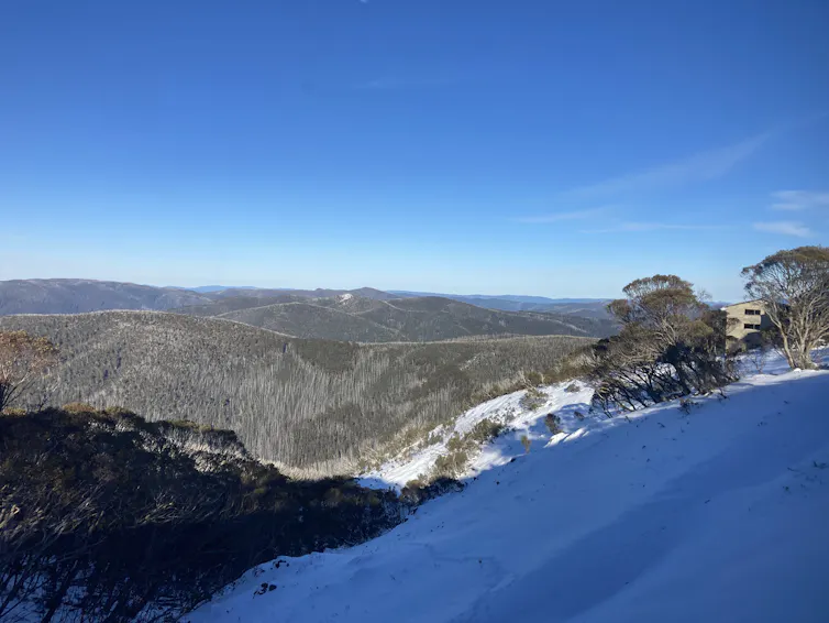
The latest snow depths from July 7 show Spencers Creek in the Snowy Mountains had only 35cm of snow, and Mount Hotham just 28cm. We had similar poor starts to the snow season in 1957, 1967, 1982 and 1997.
Most recently, both 2023 and 2015 saw our snow-related climate drivers all point to a poorer snow season. On July 9 2015, less than 5cm of snow was on the ground at Spencers Creek, and just 9cm at Mount Hotham. That’s far less than our current 2026 totals.
On July 9 2023, Hotham had a much healthier 88cm, but that ended up being its maximum depth for the entire season. That’s well below its long-term average peak of 116cm.
A concerning trend
We’ve now had three poor starts – 2020, 2023 and 2026 – to the snow season in just seven years. And worryingly, the length of the snow season, snow depth and area of snow cover are all shrinking.
Global warming – driven by our continued burning of fossil fuels such as coal, oil and gas – is already reducing how much snow is falling. It’s also changing our alpine landscapes in Australia.
The world has now warmed by 1.44C and Australia by 1.59C, since the early 20th century. And research suggests climate change is gradually overtaking the traditional climate drivers which have, until now, largely shaped our snow seasons.
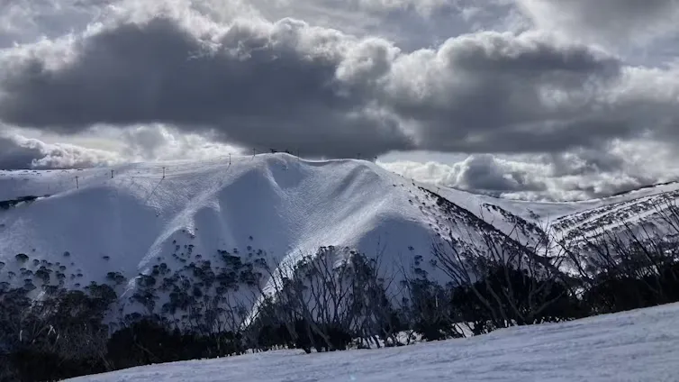
If we don’t curb our greenhouse gas emissions, our snow season is likely to slowly disappear. The good news is, the faster we abandon fossil fuels, the better our future winters will be.
Andrew Watkins

Andrew B. Watkins is Climate Councilor with the Climate Council, and a member of the Protect Our Winters science alliance.
Original source: https://analysis1.mil-osi.com/2026/07/10/what-happened-to-australias-snow-season-a-climate-expert-explains/